| 90+ Minutes | 700 Ha | 7.5 km | 100 km |
| Flight Time | At 120m AGL | Command and Control Range | Flight Range |
| 90+ Minutes | 700 Ha | 7.5 km | 100 km |
| Flight Time | At 120m AGL | Command and Control Range | Flight Range |
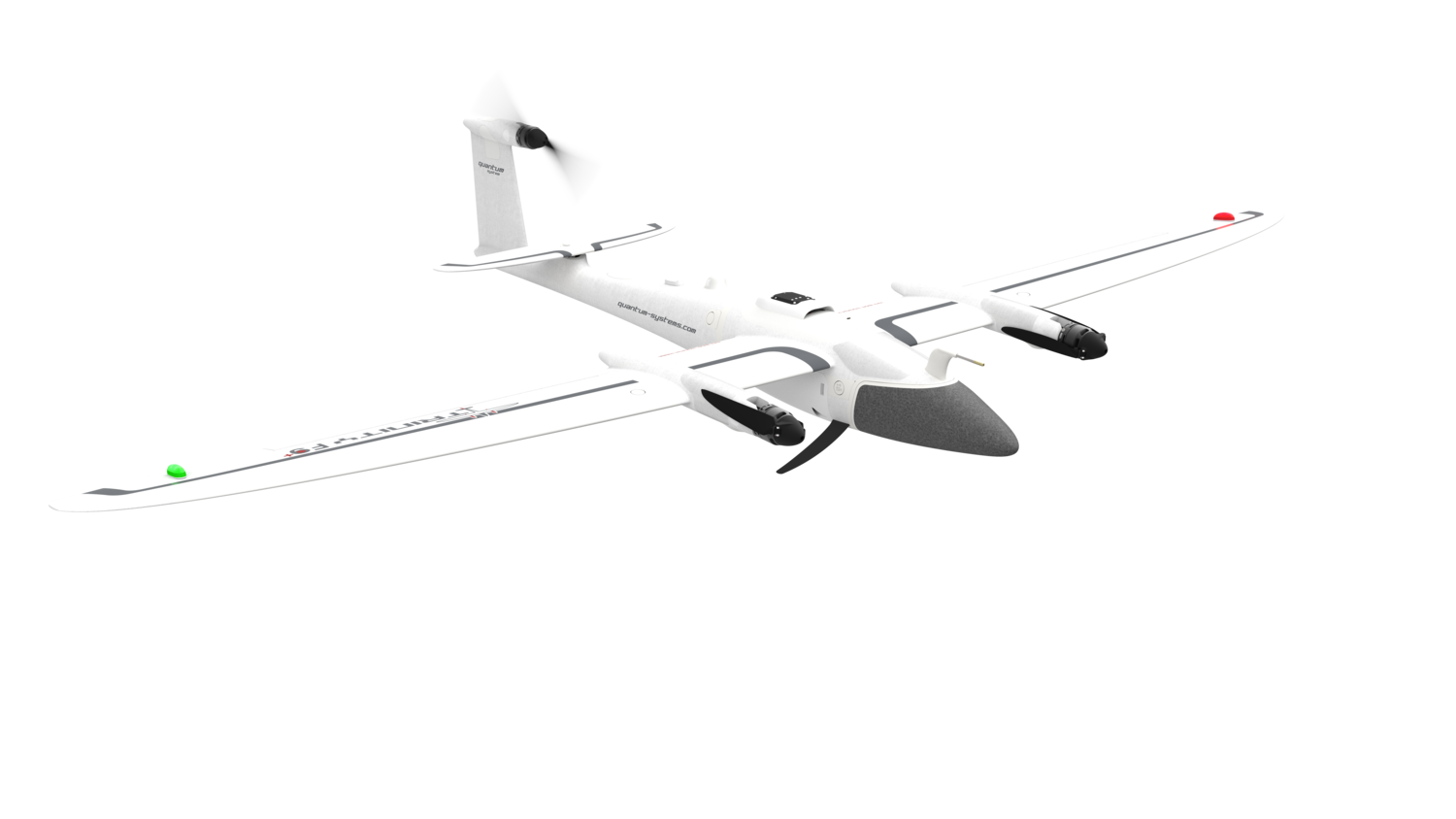
Starting with the first version of the Trinity in 2017, we provided the basis for a highly efficient and at the same time affordable eVTOL UAS without compromising on features. The Trinity F90+ leverages this platform and improves many aspects to offer professional users even more functionality at an unbeatable price.
We engineered the TrinityF90+ to fulfill professional needs, with every aspect reflecting our relentless pursuit of excellence.
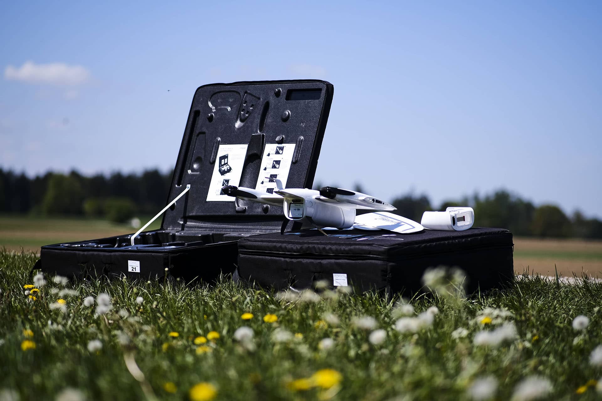
The TrinityF90+ is delivered 'ready to fly' (RTF) in a molded transport case, providing ample space for the entire package.
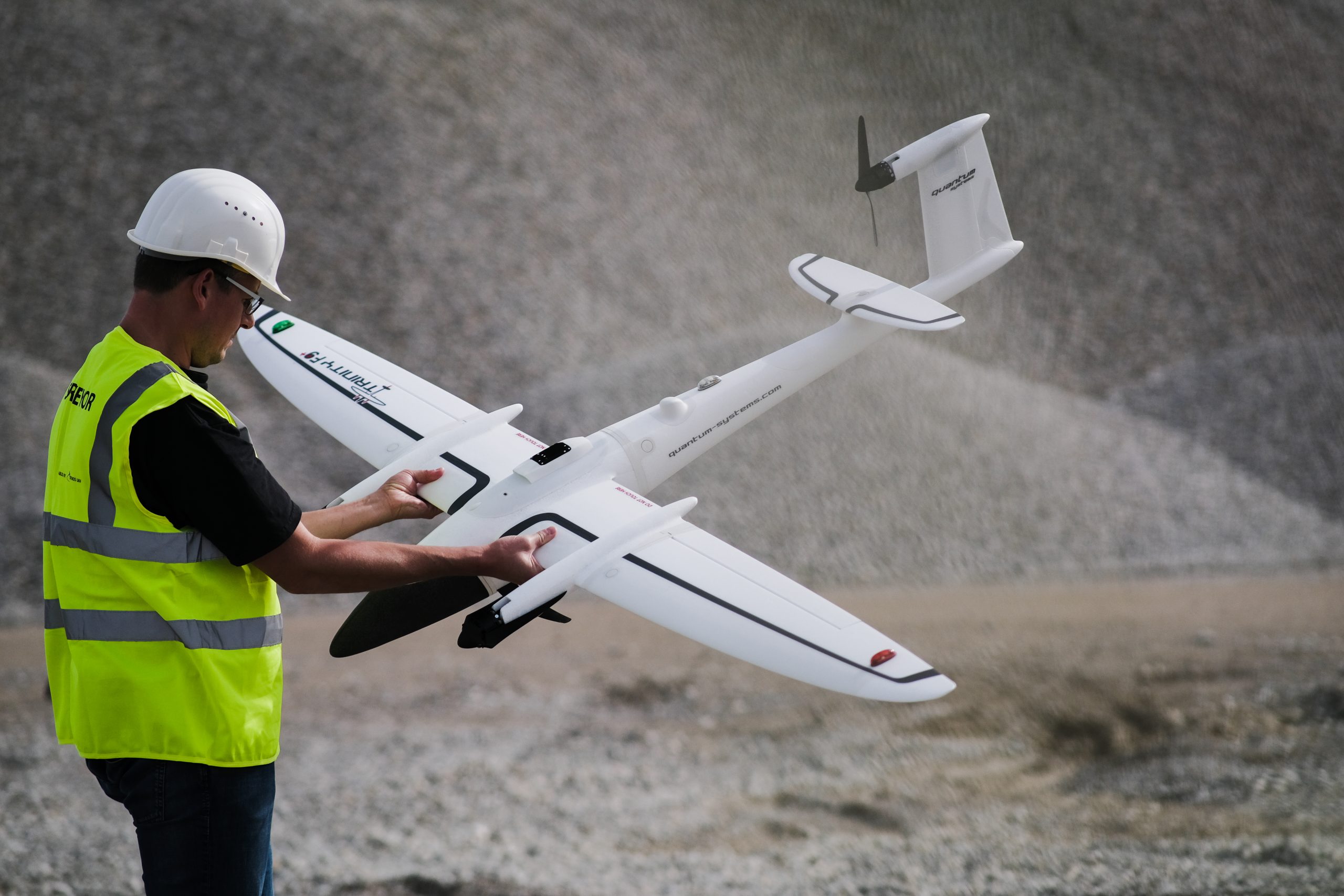
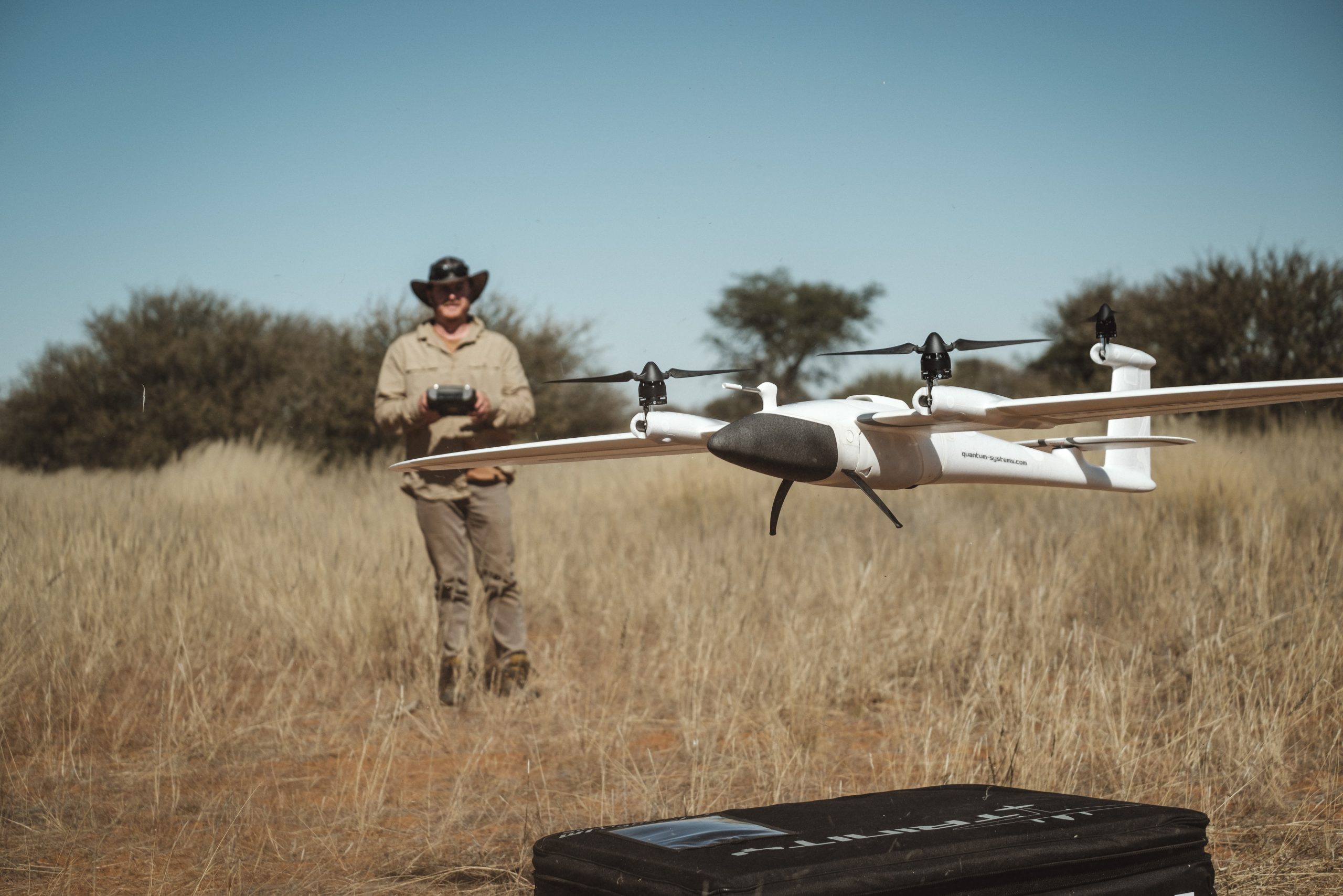
Press a button, and the UAV gets to work. The remote control is intuitive, with no confusing switches or levers.
We dedicated many hours to optimize the wing geometry to push the glide ratio to an astounding 14:1.
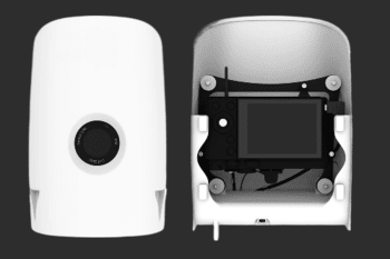
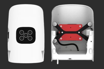
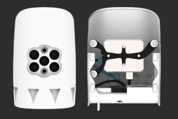
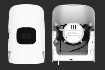
We provide payload configurations up to 42 MP. The portfolio is supplemented by multispectral cameras from Micasense, including the Altum with its included thermal sensor. Thanks to the large payload capacity, a combination of a high-res RGB camera and a multispectral camera is available. This results in completely new possibilities that save time and money.
| Max. Take-off Weight | 5.382 kg |
| Max. Flight Time | 90+ min |
| Max. Range = Area | 100 km = 700 ha |
| Max. Flight Altitude | 4500 m |
| Command and Control Range | 5–7.5km |
| Operating temperature range | 12°C to 50°C |
| Wingspan | 2.394 m |
| Transport Case Weight (3 batteries) | 22.3 kg |